Precision Agriculture Mapping Integration in Alberta
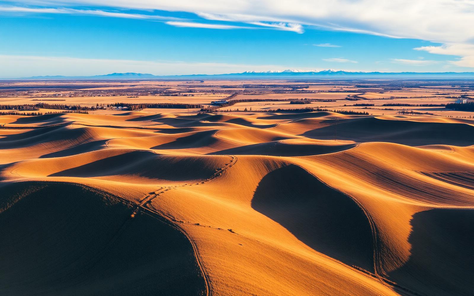
Analyzing field data to map variable-rate management zones, ensuring accurate input placement across varying soil types.
Why precision agriculture mapping looks different here
Alberta grain and mixed operations move fast when the window opens. From the black soil belt north of Edmonton to the semi-arid south, we bring high-clearance sprayers, class-9 combines and experienced operators to keep your season on schedule.
Tight spring seeding windows, hot dry summers in the south, and unpredictable early snow in the north — our crews are staged so tender trucks, sprayers and combines move where the weather demands.
- Typical timing
- Off-season and in-season
- Field window
- Late April (south) through early June (Peace Country)
- Soils we set up for
- Brown and dark-brown chernozems in the south, black soils through the parkland, grey-wooded ground up north.
- What you get
- Prescriptions your drill and sprayer can actually execute.
What's included
- 01Yield, soil and imagery data layering
- 02Management-zone creation
- 03Variable-rate prescription files
- 04Equipment and monitor integration
Precision Agriculture Mapping Integration across Alberta
- Peace Country
- Central parkland
- Edmonton–Camrose corridor
- Red Deer & Central AB
- Palliser Triangle
- Foothills
Field crops we handle
- Hard red spring wheat
- Canola
- Malt & feed barley
- Field peas
- Oats
- Durum
Alberta seeding means chasing a window that opens weeks apart across the province. We start in the dry south and follow the thaw north, so southern acres get in early while Peace Country crews stage for a compressed, late-May push.
Other services we run here
Custom Seeding
Precision air-drill seeding across large prairie acres — accurate seed placement, variable-rate capable, and coordinated logistics to get your crop in the ground on time.
In Alberta →Custom Crop Spraying
Professional high-clearance liquid application with fully insured equipment and experienced operators — extensive acreage covered efficiently and on time.
In Alberta →Full-Service Harvesting
Comprehensive custom combining from standing crop to grain bin, maximizing yield recovery through late August and early September.
In Alberta →Summer Tillage Operations
Mid-season soil conditioning and weed management using high-performance tractors and specialized tillage implements.
In Alberta →Fall Pro-Till Services
Heavy-duty autumn soil preparation with high-speed disc machines to effectively manage heavy crop residue before the winter freeze.
In Alberta →Agricultural Equipment Operator Supply
Highly skilled, fully vetted machine operators supporting commercial farms during time-sensitive, peak operational bottlenecks.
In Alberta →
Need precision agriculture mapping in Alberta?
Tell us your RM or county, acres and timing — we'll come back with capacity and pricing.