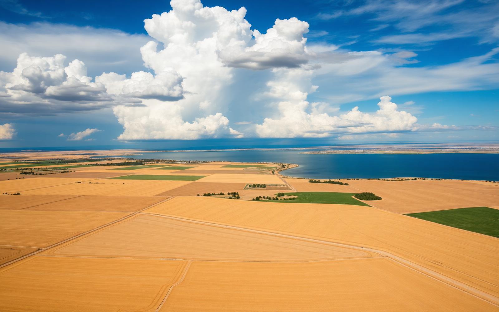
Precision Agriculture Mapping Integration in Manitoba
Analyzing field data to map variable-rate management zones, ensuring accurate input placement across varying soil types.
Why precision agriculture mapping looks different here
Manitoba's mix of heavy Red River clay, sandy interlake fields and rolling western uplands each demand a different approach. We tune equipment, tire pressures and application timing province-by-province so heavy crops come off cleanly, on schedule.
Manitoba's earlier, wetter harvest window rewards operators who can pivot between soybeans, canola and cereals within a single week — our crews cross-train specifically for that mix.
- Typical timing
- Off-season and in-season
- Field window
- Late April through mid-May, weather permitting
- Soils we set up for
- Heavy Red River Valley clay, sandy Interlake ground, rolling Westman and Parkland loams.
- What you get
- Prescriptions your drill and sprayer can actually execute.
What's included
- 01Yield, soil and imagery data layering
- 02Management-zone creation
- 03Variable-rate prescription files
- 04Equipment and monitor integration
Precision Agriculture Mapping Integration across Manitoba
- Red River Valley
- Central Plains
- Westman
- Parkland
- Interlake
- Eastman
Field crops we handle
- Hard red spring wheat
- Canola
- Soybeans
- Corn (grain)
- Sunflowers
- Field peas & edible beans
Manitoba's earlier spring is also its wettest. We manage flotation and ground pressure on Red River clay, adjust depth on Interlake sand, and split the drill between cereals, canola, soybeans and corn inside the same week.
Other services we run here
Custom Seeding
Precision air-drill seeding across large prairie acres — accurate seed placement, variable-rate capable, and coordinated logistics to get your crop in the ground on time.
In Manitoba →Custom Crop Spraying
Professional high-clearance liquid application with fully insured equipment and experienced operators — extensive acreage covered efficiently and on time.
In Manitoba →Full-Service Harvesting
Comprehensive custom combining from standing crop to grain bin, maximizing yield recovery through late August and early September.
In Manitoba →Summer Tillage Operations
Mid-season soil conditioning and weed management using high-performance tractors and specialized tillage implements.
In Manitoba →Fall Pro-Till Services
Heavy-duty autumn soil preparation with high-speed disc machines to effectively manage heavy crop residue before the winter freeze.
In Manitoba →Agricultural Equipment Operator Supply
Highly skilled, fully vetted machine operators supporting commercial farms during time-sensitive, peak operational bottlenecks.
In Manitoba →
Need precision agriculture mapping in Manitoba?
Tell us your RM or county, acres and timing — we'll come back with capacity and pricing.